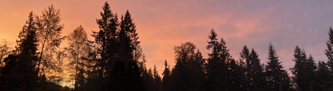
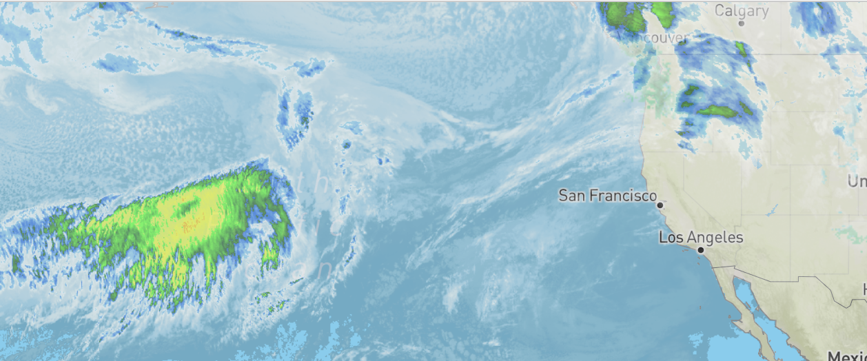
It first showed up on the radar as a ghostly horse head- lurking off our Pacific Coast, gaining speed and intensity over the ocean. Western Washington was already experiencing some rain, with atmospheric rivers projected to arrive the following week. This satellite picture was taken on December 6th. Then on the 8th, a full white horse head struck. I’ve used this animal metaphor along with the satellite shapes to track the history of this monumental flooding. It’s a once in a decade “100 year” flood, with record breaking rivers jumping banks, levies, and bridges across the western part of our state.
People are choosing to continue their lives in the flood plain, and it’s time we take a hard look at our poorly designed colonial agricultural systems that are outdated and soon to be swept off the map by human induced climate change. These storms were forecast several days out. Horse head storm came Monday and Tuesday, then another front I like to call bear head came and dumped an unusual amount of hard rain- we’ve been having harder rain events here for about a decade, and that’s what pushed our stressed river systems to the brink.


By Wednesday evening, the rivers were jumping banks and evacuations were in place. Our main road in and out, Woodinville-Duvall road, was still open into that evening, everyone had a chance to move equipment, pack up and head out of their homes, and get livestock to emergency safe space, like The Evergreen Fairgrounds, which offer free stalls and dry space for livestock. I watched a news segment about a dog shelter in Everette that was scheduled to flood, and they found foster care for every animal there after a public plea for support. Still, some people have chosen to stay home, and they are now being evacuated by emergency services, which have to put their lives on the line needlessly. This is important to reflect on when you think you’ll just sit tight in a projected flood warning- you are putting other people at risk when you don’t heed evacuation warnings. So, on Thursday morning, December 11th, some people were still shocked to find the city cutoff by flooding.
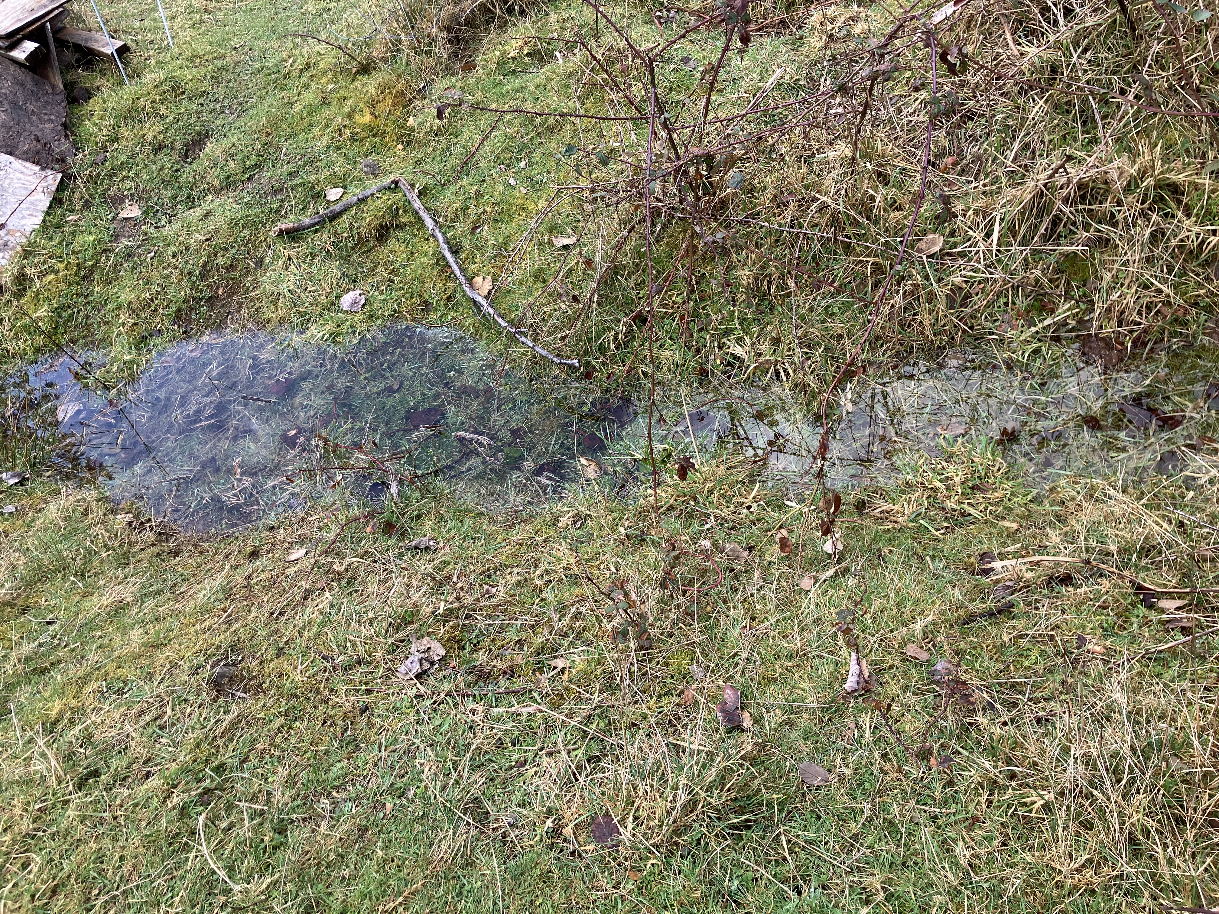
It was not a surprise folks- and we’ll be an island for at least tonight and most of tomorrow, then a break before another round of rain will potentially raise the rivers again- hopefully not as catastrophically as today, but flooding will continue throughout the winter, along with landslides. That’s what happens when it rains a lot around here. Since today was indeed a special day of extremely high flood waters, I did take a few hours to explore and document the water works in the valley. Lots of other folks had turned out- school was canceled, and a lot of folks could not drive into work this morning because of the flooded roads. Duvall is an island right now- in the sense that no public roads are open due to flooding. But it was a great day to get out on foot to see the water level rising and celebrate this some what rare event for the town.

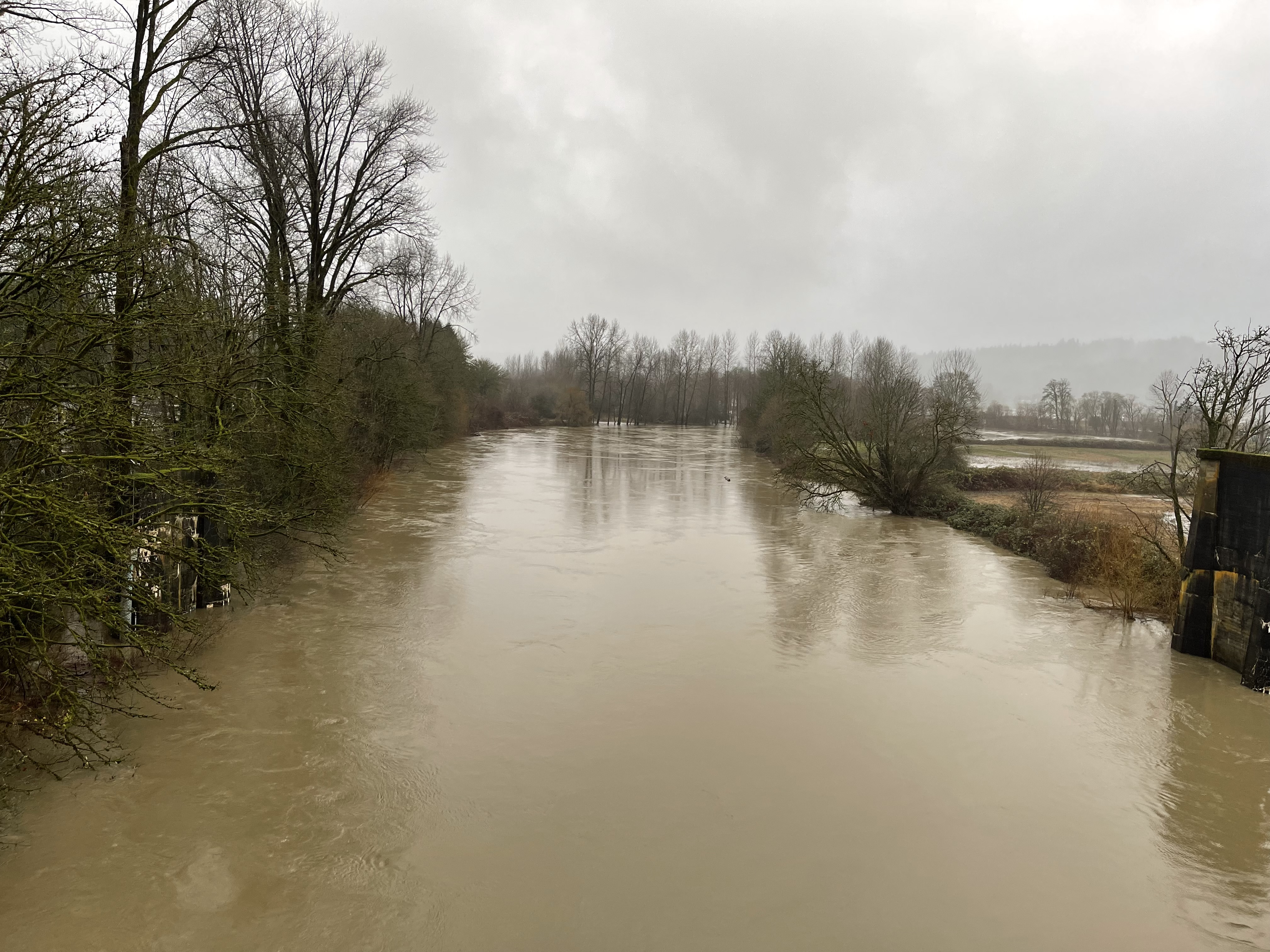
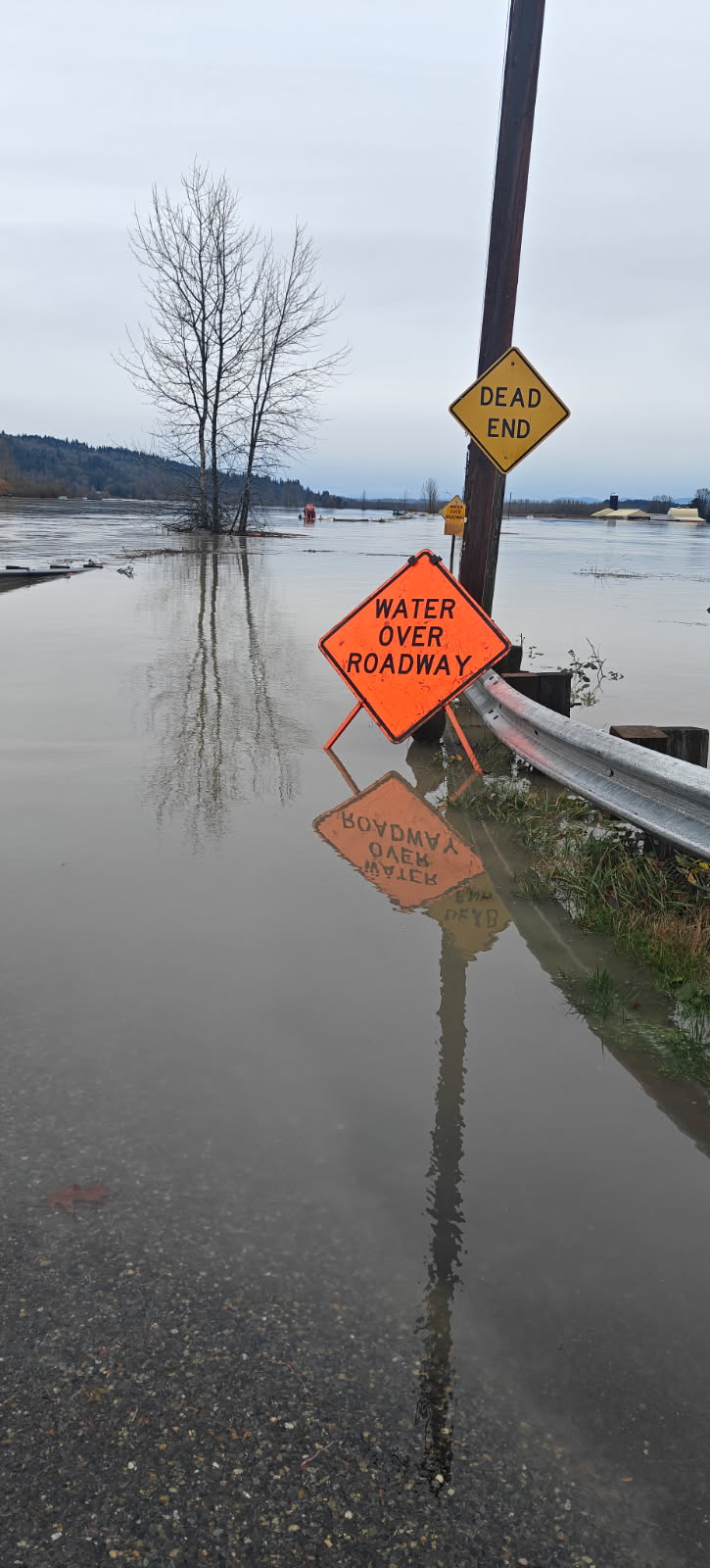


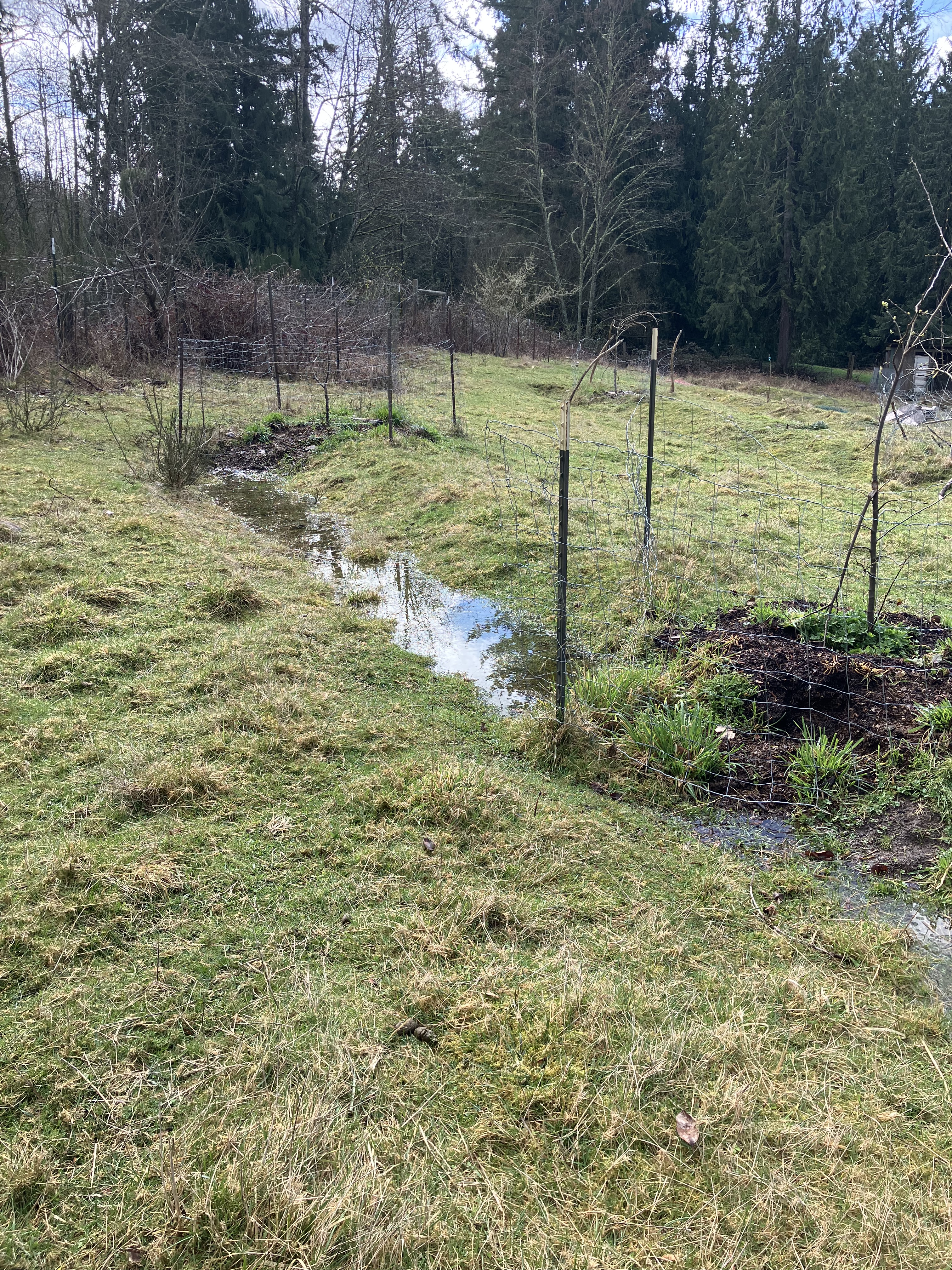
There were all kinds of strange sites to take in- from flooded playgrounds to loads of water over roadways. Our river was almost unrecognizable without clear banks, and waterfowl was flying in from all over to enjoy the banquet of washed up worms, plant life, and insects. We saw fleeing voles, winding snakes in the water, and graceful swans overhead. The eagles were chirping eager meal calls as fish swam into shallow fields and pastures, obfuscated by mud. There was a smell- some what organic and definitely sewage in nature wafting from the currents. I heard a mother tell her child not to put his hands in it. Agricultural runoff is a major problem in our valley- and any crops touched by floodwater cannot be sold for human consumption. Think about that for a moment. Yet a few people had their shoes off and were wading in- hmm… raw sewage anyone? Further up stream, on the other side of the valley farms runoff and city sewage treatment plants, the water smelled fishy, rather than poopy, and ran clearer.
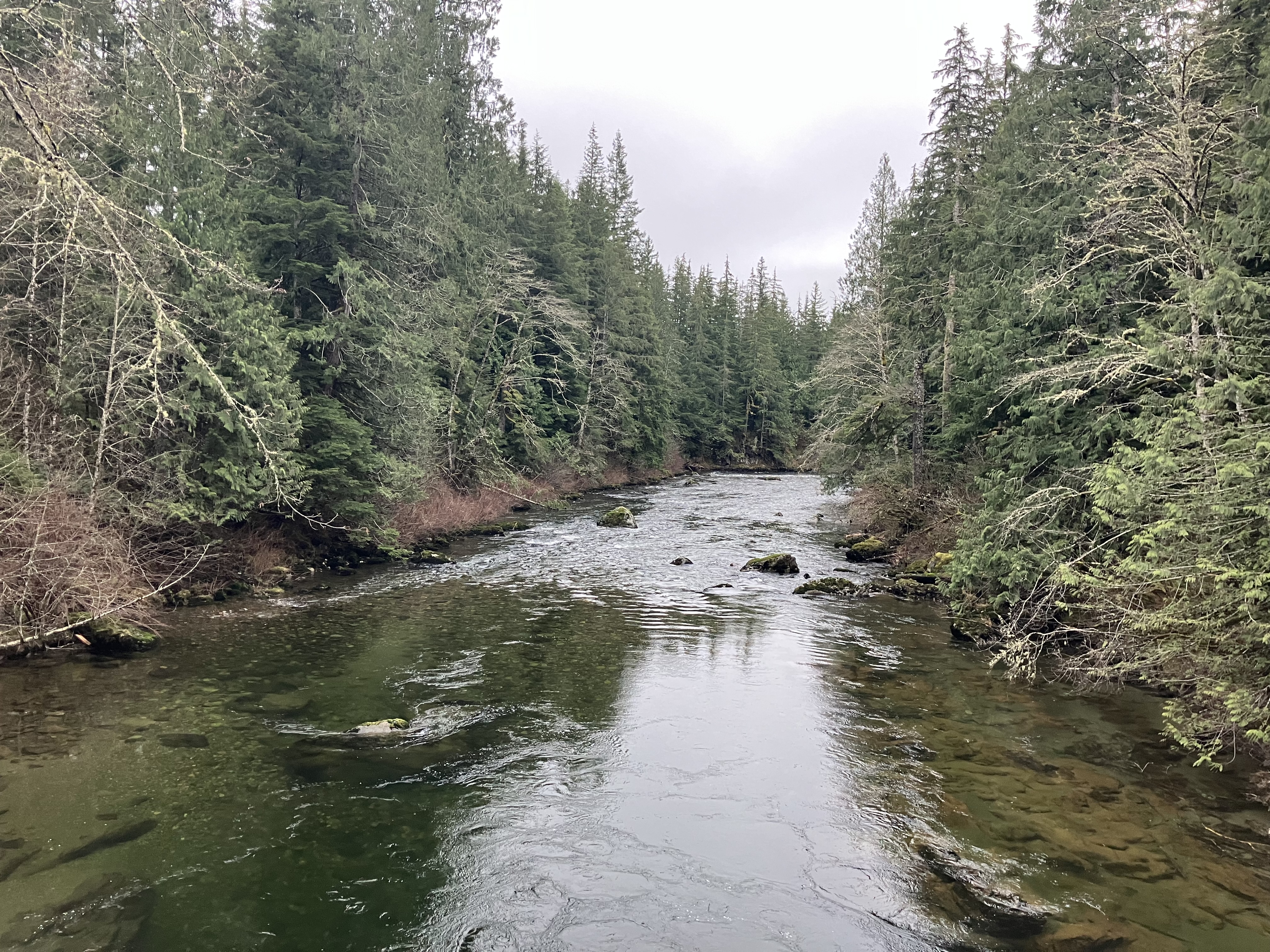
The sound of the water reminds me of it’s power, even shallow over the road here. The current was peeling the tar off the mending strips on the road. Grass and other debris floated by, and the off white color of the road strip tells me there’s still silt and other microbial things floating in the current. But the sewage smell was gone, replaced by fish and other river smells you expect to encounter in clean running wild water. It was over topping the highway and running into a cattle pasture on the other side. Though the cows are gone now, their manure is still on the surface of the soil, and will be carried off into the river and on down stream. This river connects with another further north, then they braid into a third and pour into slews that eventually connect to x̌ʷəlč (Puget Sound). You can find more place names in Lushootseed here, which is the native language shared by The Snoqualmie Tribe, and other tribes of areas surrounding The Salish Sea. I’ve found that at least hearing the native place names of the area helps me to begin acknowledgment of the people that have lived here in relationship with the waters and land since time immemorial.
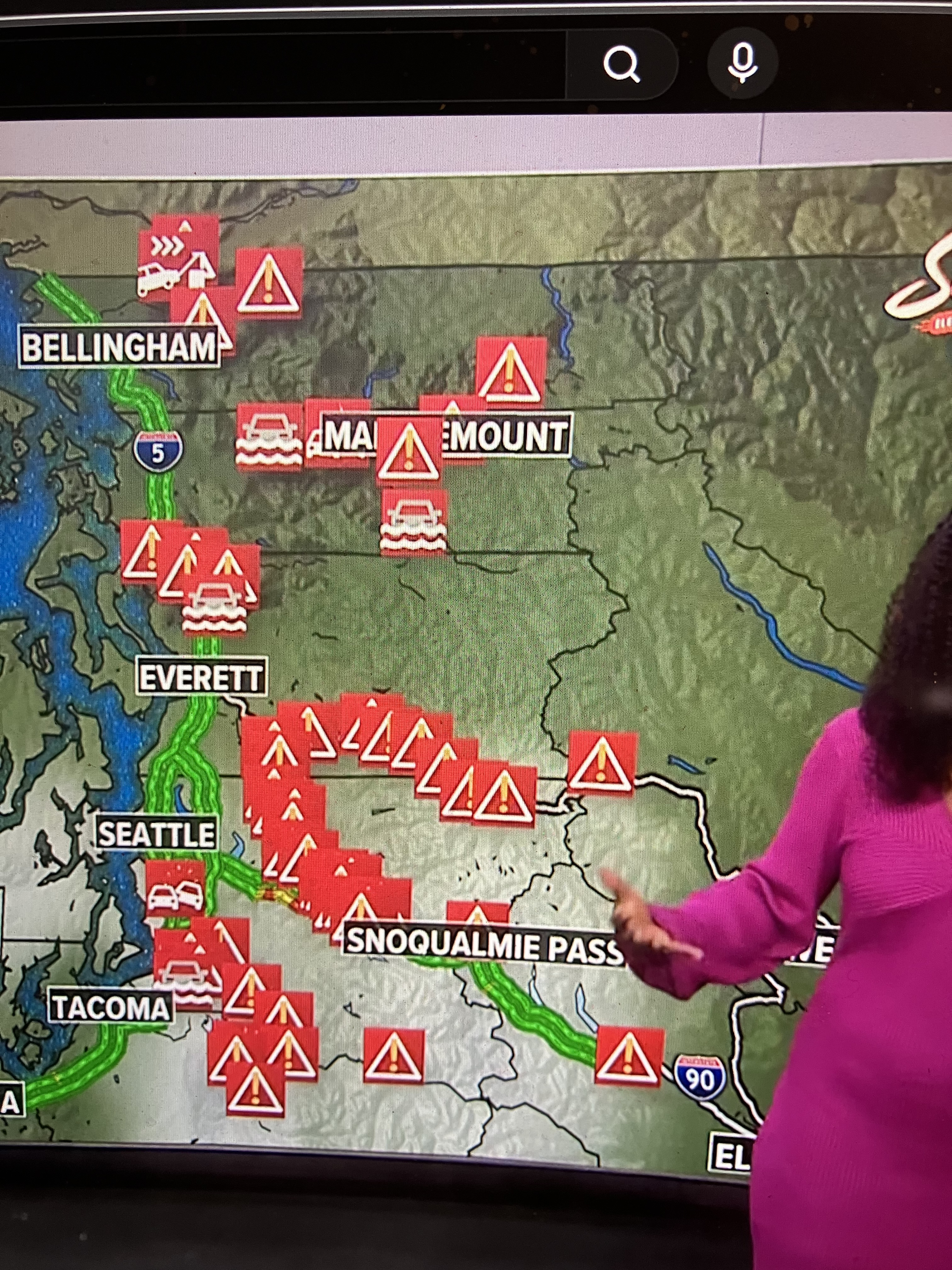
Flooding like this is why most native tribes paddled canoes to get around. These floods would not prevent much transportation if it was all by boat as it once was. One of many reflections I had standing on the shore looking off into the watery abyss which swallowed the roads. I heard one woman ask a police officer, “when is this going away so I can get out?” to which he replied, “Oh I don’t know.”. The forcast last weekend was clear- it was going to flood, last night I knew the roads would be cut off by morning, and still, some people were clueless- perhaps because weather and flooding is not the normal day to day around here- and in most places. Come the rainy season, which is actually late in arriving this year- we are still 8″ behind in rainfall this year, flooding does happen, and landslides, which closed are two main east/west routs in and out of Western Washington. The road were looking pretty treacherous this morning, and with flood waters rising throughout the day, it was not going to get better over time.
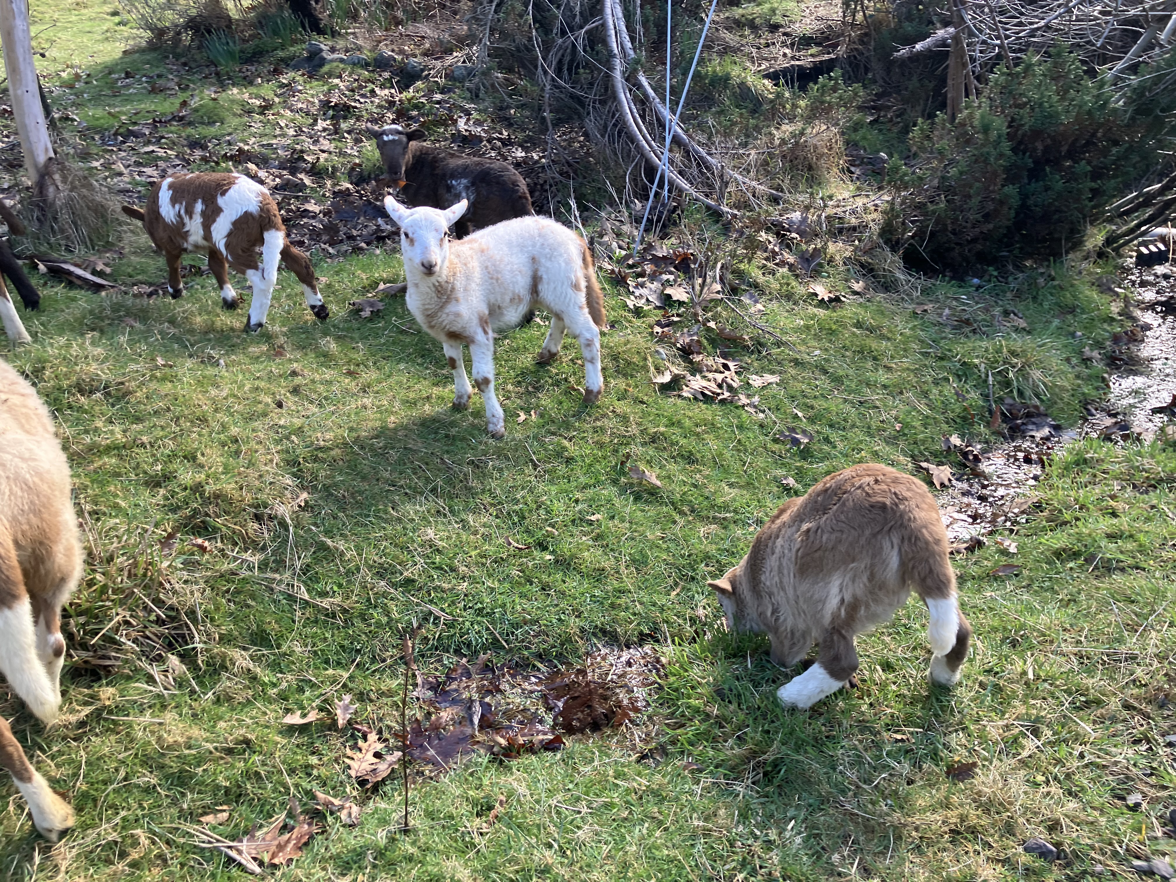
What a great day to sit back and enjoy the ride- and thankfully, the farm, animals, and people at EEC Forest Stewardship were dry and safe on the hill. To be clear, flooding is a scary thing, and there are many people right now in low lying areas that are frightened and in a panic about what to do and where to go, but we have to acknowledge that flooding is a cyclical part of life in this area. The warnings went out days before, and help was available for those in need. Those who asked, received it, including on the spot rescue when people chose to cross road closed signs to push through and got flooded in their cars. Again, rescue crews were put in harms way because of selfish egos. Please respect road closures and warnings from public servants in your area. It might also be smart to keep one eye on the weather near you to prevent surprise catastrophes. If you are looking at buying property near waterways, check flood histories first and understand the risk of living near water of any kind in the Anthropocene.

The morning adventure around the flooded roads of our town was epic- with pictures of all the cutoffs due to water over the roadways. This shot of the 124th bridge shows how much water is over the road. This access was flooded out on Wednesday, late morning. I was just driving back from picking up some paperwork in South Seattle, and had to take a detour up the road to Woodinville-Duvall rd., which is now flooded. At that time, the road was only just underwater, but now, no one could get through, no matter how jacked up their truck might be. On my way out of this area, I watched a guy launching a boat from the roundabout. That was surreal. We were not sure why they were launching into a major flooding river, but did not stick around to ask. Let’s hope it’s not another cause for rescue workers to be out trying to save people that had no business being out on the water at this time. Again, the best thing you can do in an event like this is stay out of the way and not try to be a hero. We parked in a designated parking area to look-y-loo. We did have to turn around in the middle of the road that was closed on north hyw 203, but there was no traffic, and we did not try to forward the road into the water- others did, and that’s what will get you swept off the road and into trouble. Please think about the other people who will have to come get you if your antics fail.

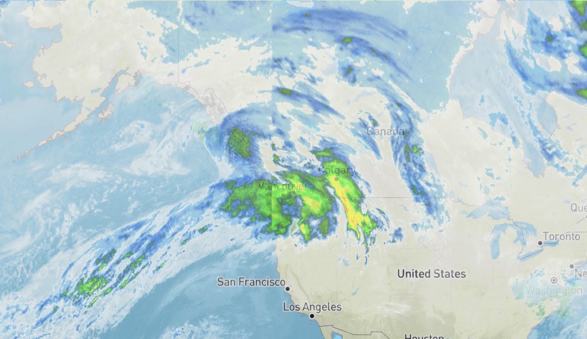
Now, the storm is letting up, and I can still see a horse head throwing its weight around in the atmosphere above, though now it’s facing out to sea in a farewell. I’m going to keep calling this horse head storm. This might not be the only post I make on this flooding, but today’s adventure is fresh in my mind, and I wanted to get these pictures out there for folk who are curious about what’s happening in our small valley during a 100 year flood. Thanks to all the rescue workers and civil servants spreading clear communication about safety, flood dangers, and where to seek aid. The weather folks have been clear and concise, with lots of great updates as the weather continues to change. Thank you to everyone who stayed home, came out on foot to share the majesty of our local waters, and kept out of the flood to keep others safe too. Another rain event is scheduled for early next week, hopefully by then, our valley is drained out and back to normal flow so it can buffer this next storm without cutting off the access. However, it’s always an adventure when Duvall reaches island time.