You may know this mountain as St. Helens, but it’s called many other things by the people who have lived ear it for thousands of years. Tribal people have always been well aware of it’s unstable rage, from smoke to fire, this mountain pours out volcanic violence with little warning. Perhaps if the volcanologists had payed more attention to the tribal stories and oral histories, they would have understood the danger in 1980, when once again, the mountain erupted on the north side. Yes, in tribal oral history, Loowit would throw fire to the north at her sister Tahoma (Rainier). They were in a fight over their husband Pahtoe (Adams). Because there are so many tribes, there is not one single name or story for the various landmarks across the landscape, but this general theme seems to dominate within tribal lore. For a more complete list of tirbal names and stories, I loved this site.
Loowit is not a National Park, but a National Monument. This is a distinct difference; it’s a downgrade from park. Washington State has a few active strata volcanoes, and only one of them, Tahoma, is a National Park. Loowit was Weyerhaeuser territory in the 1980s, and the timber giant was not excited to give up land with forest, but after the blast, so much land had its trees blasted right off, that the company agreed to give up some land for a monument, in return for a lot of federal aid to rebuild access, and future promises about long term management, which is still under debate. With the current administration as of 2025, things don’t look good for the forests around this unique peak. Now that almost half a century has gone by, the timber has had a little time to come back, and nature’s incredible resiliency has dollars signs hanging from the branches now.

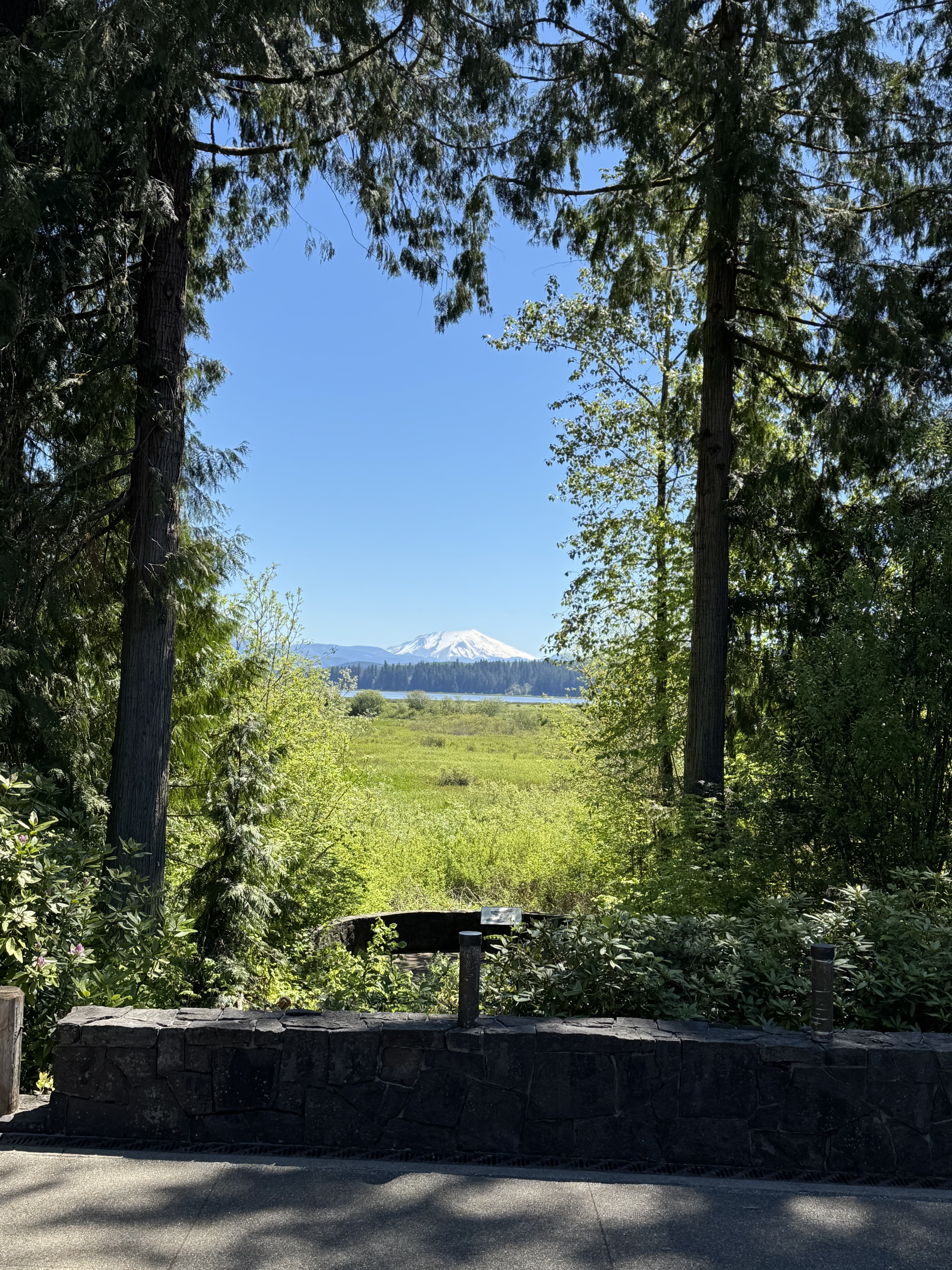
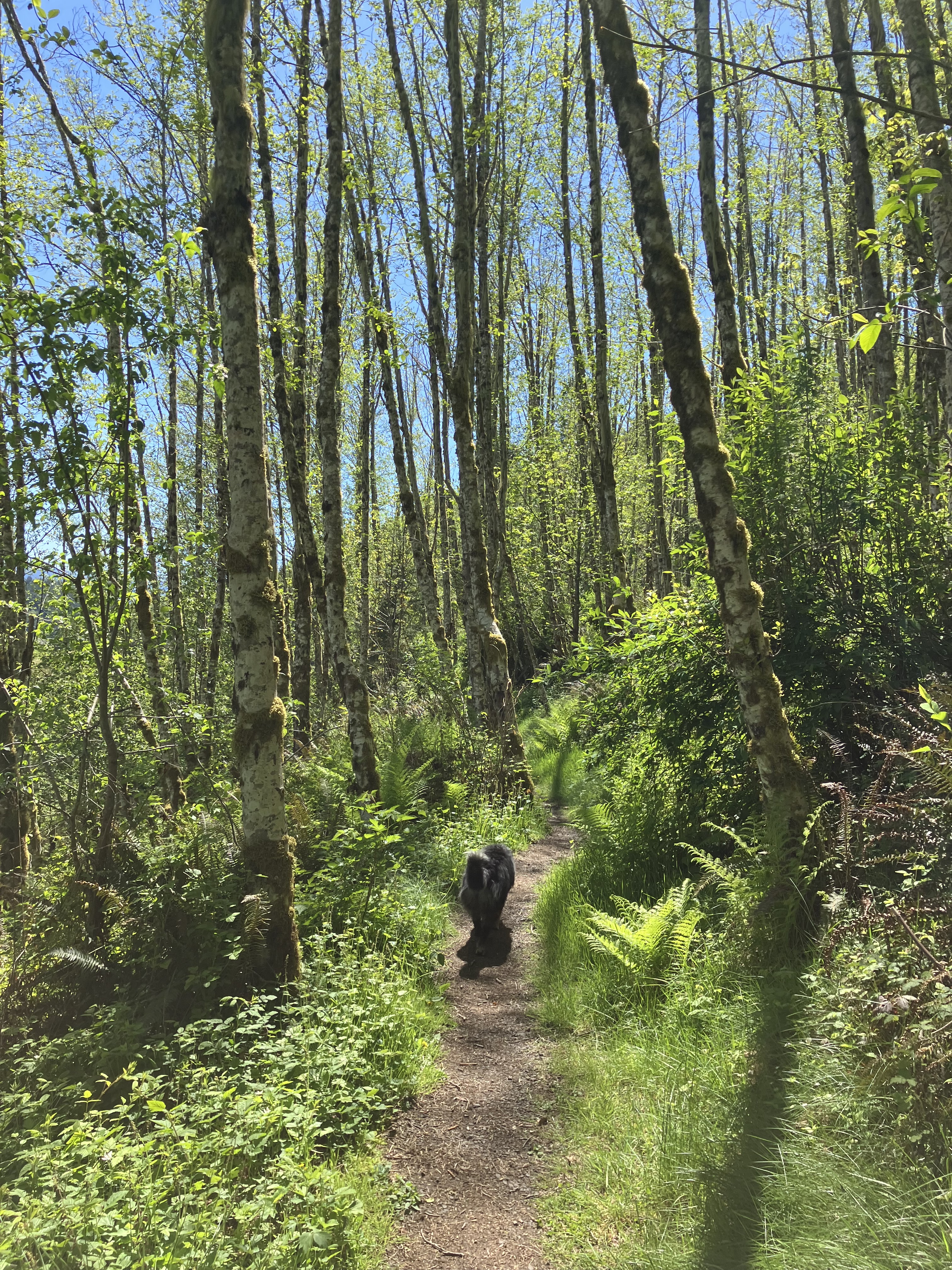
There is an incredible diversity of species and elevations of ecology around Loowit. The undisturbed areas of study after the blast to see how nature returns have brought countless understandings to restoration on disturbed landscapes. There are some folks tired of these ongoing studies, because it keeps people out of areas they once had access to. Though the land is considered public, it falls under protections as a monument, and is the only place in the world this crucial recovery research can go on. There are still vast areas of access for recreation, including two beautiful lakes, three educational centers, miles of trails, including back-country winter access. In planning my own trip to the mountain in May, 2025, I found more than enough free direct access, along with plenty of nearby free fishing, boat access, and well marked trails- some of which we could take the dog on. I would say Loowit is balanced for research observation, wildlife habitat, human recreation, and preservation of delicate ecology found no where else on earth for future generations.
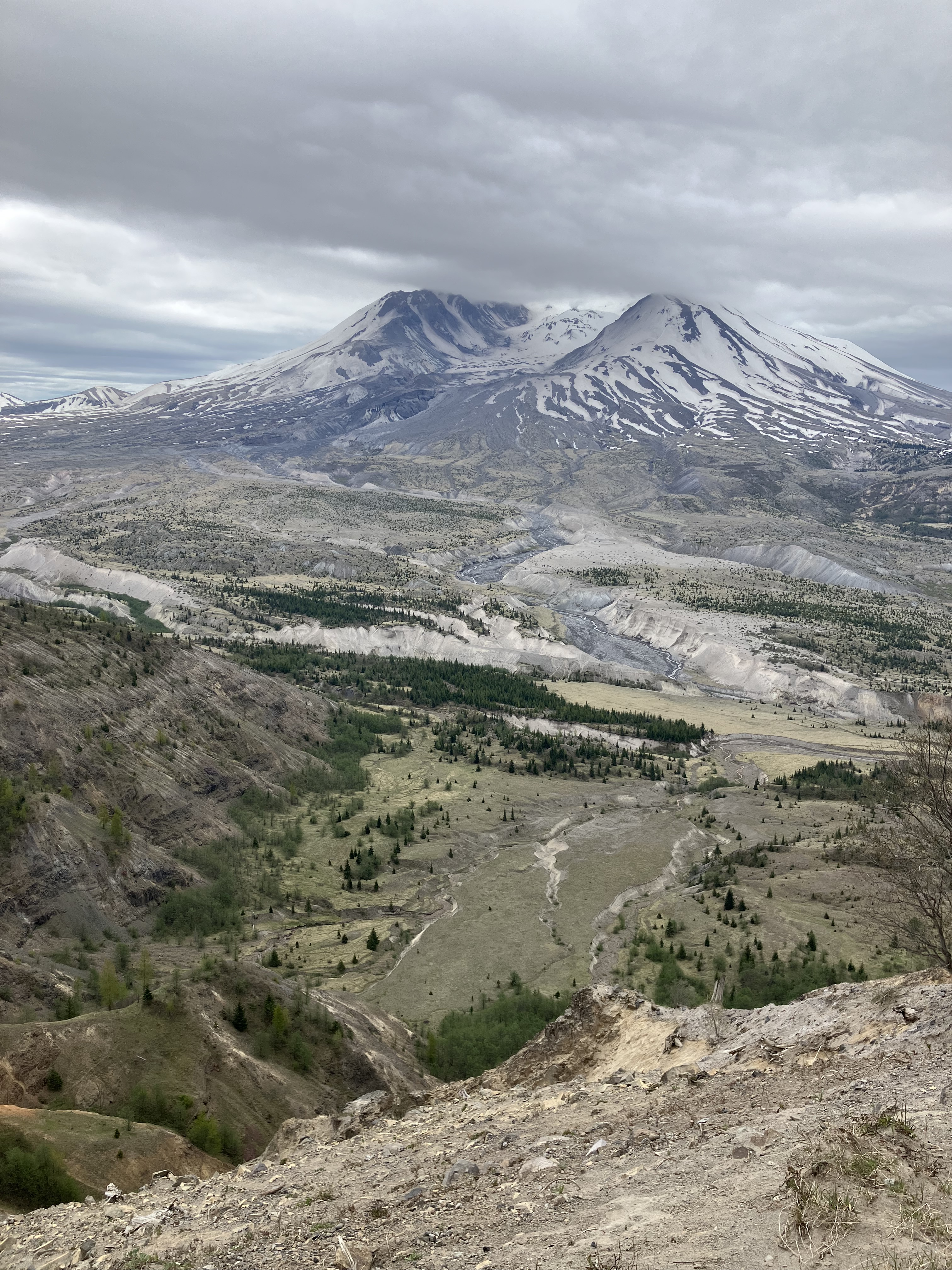
In trying to find good maps online, I continued to realize how controversial this area of the country continues to be. Below is a map of the monument, which we never saw while there. We came right before official opening season, so we missed what I’m sure are amazing presentations by the park staff and volunteers that work at the monument seasonally. I bought a map at the gift store- which was open. It was still just a trail map, and didn’t have the park buildings or information on what was currently open. I’d been to this place in 2009 when I first came to Western Washington. We drove right up to Johnston’s Observatory and hiked a short loop from the education center. It was mind blowing then, but far more barren a landscape. Coming back 16 years later, I could tell the vegetation had grown in quite a bit more, and the logging trucks were running every ten minutes down highway 504, the only way out of the woods on the west side of the mountain.

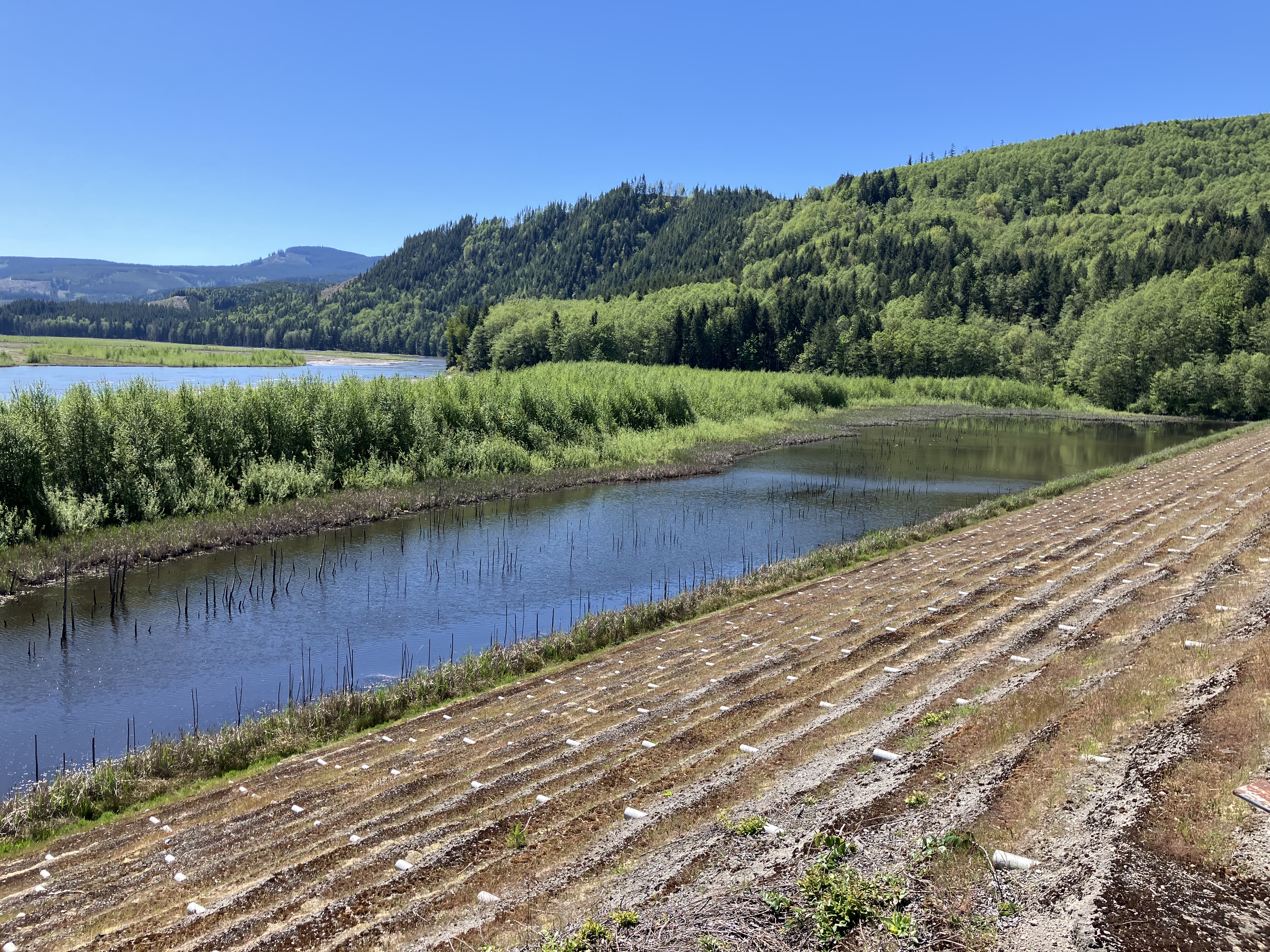
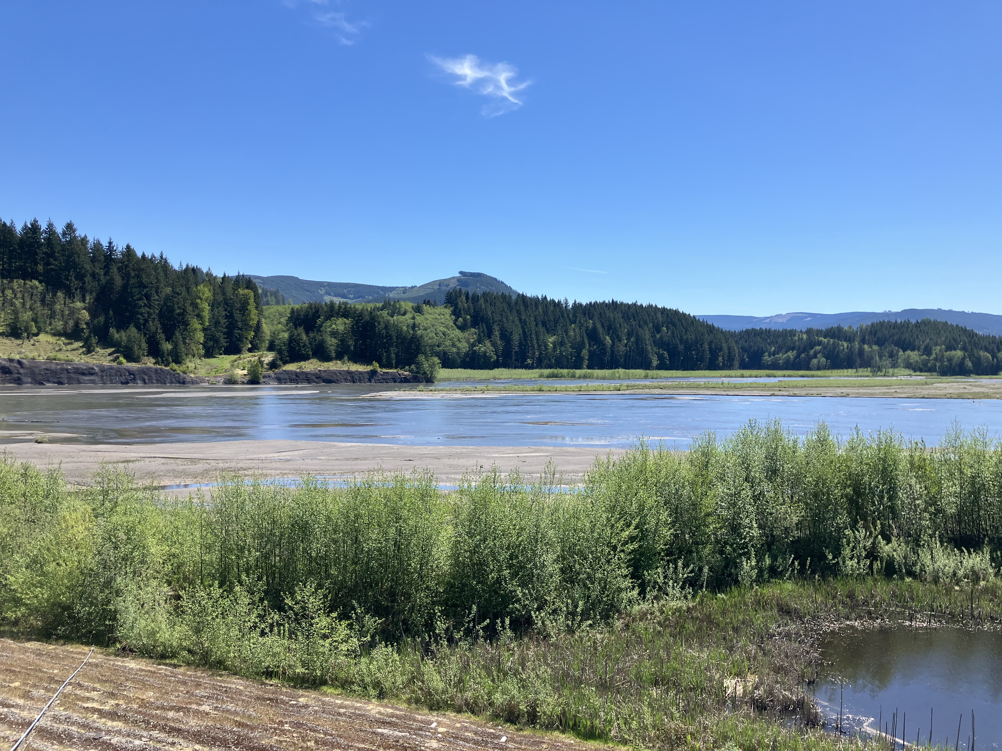
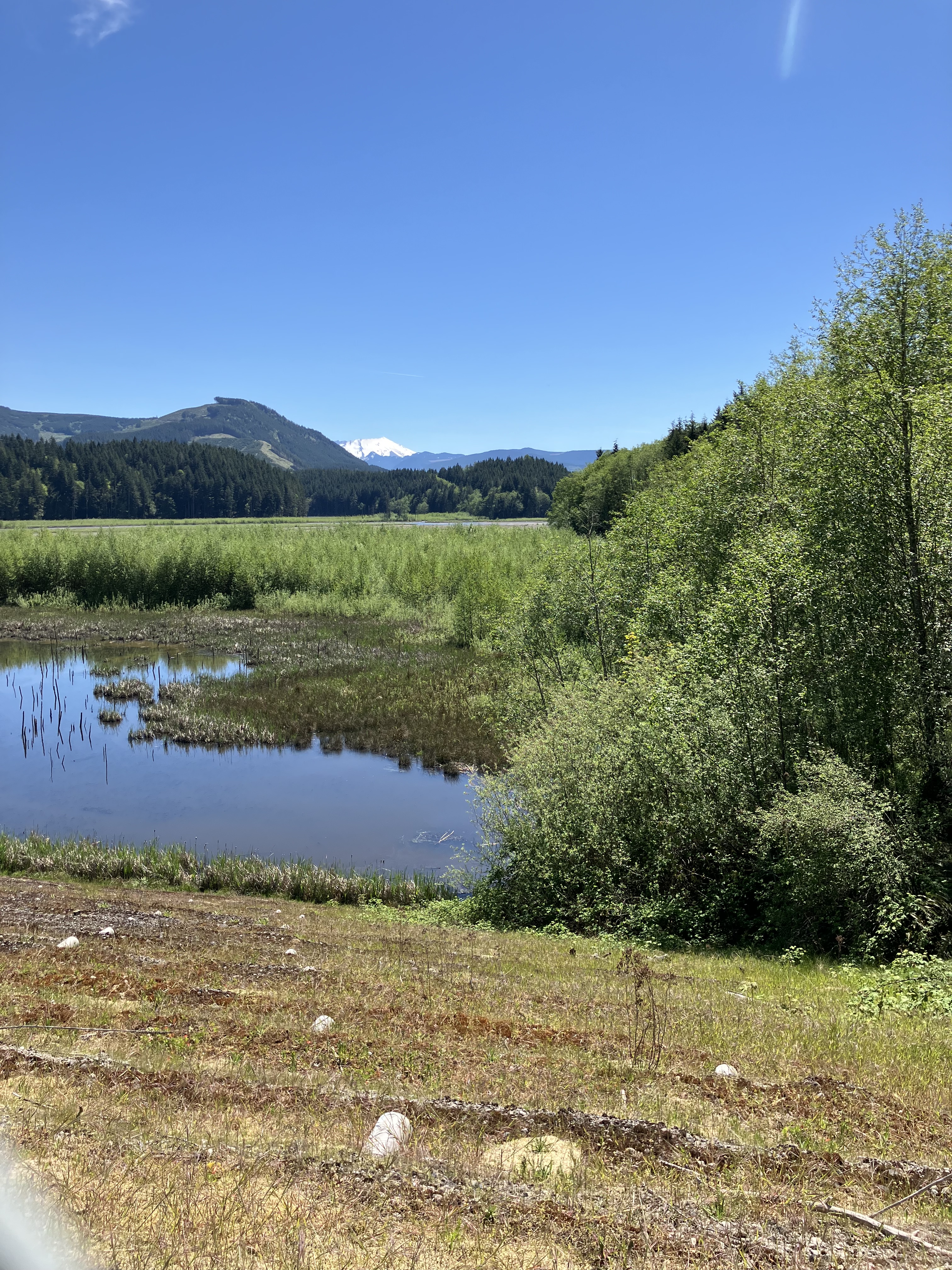
We stayed at Silver Lake, near the town of Toutle, which was the major emergency evacuation point during the mountain’s eruption in 1980. The area is about 20 miles from the volcano, and just at the edge of the blast zone. The Toutle River famously carried most of the lahar, which came off the mountain during the eruption. There is incredible video of this part of the disaster, which you can find here. The mud flows caused by lahars further down river, blocked several of the tributaries feeding into Toutle, which formed Coldwater, Castle, Spirit, and Silver Lakes. All five are now monitored and maintained by The Army Corps of Engineers to prevent future flooding in the towns and cities down stream. A huge sediment dam was constructed, to slow erosion as the ash and debris from the 1980 eruption continue their journey down from the mountain over time. This large man made structure offers an easy hike, some good signs with interpretation of the area, and interesting views of Loowit from the valley floor.

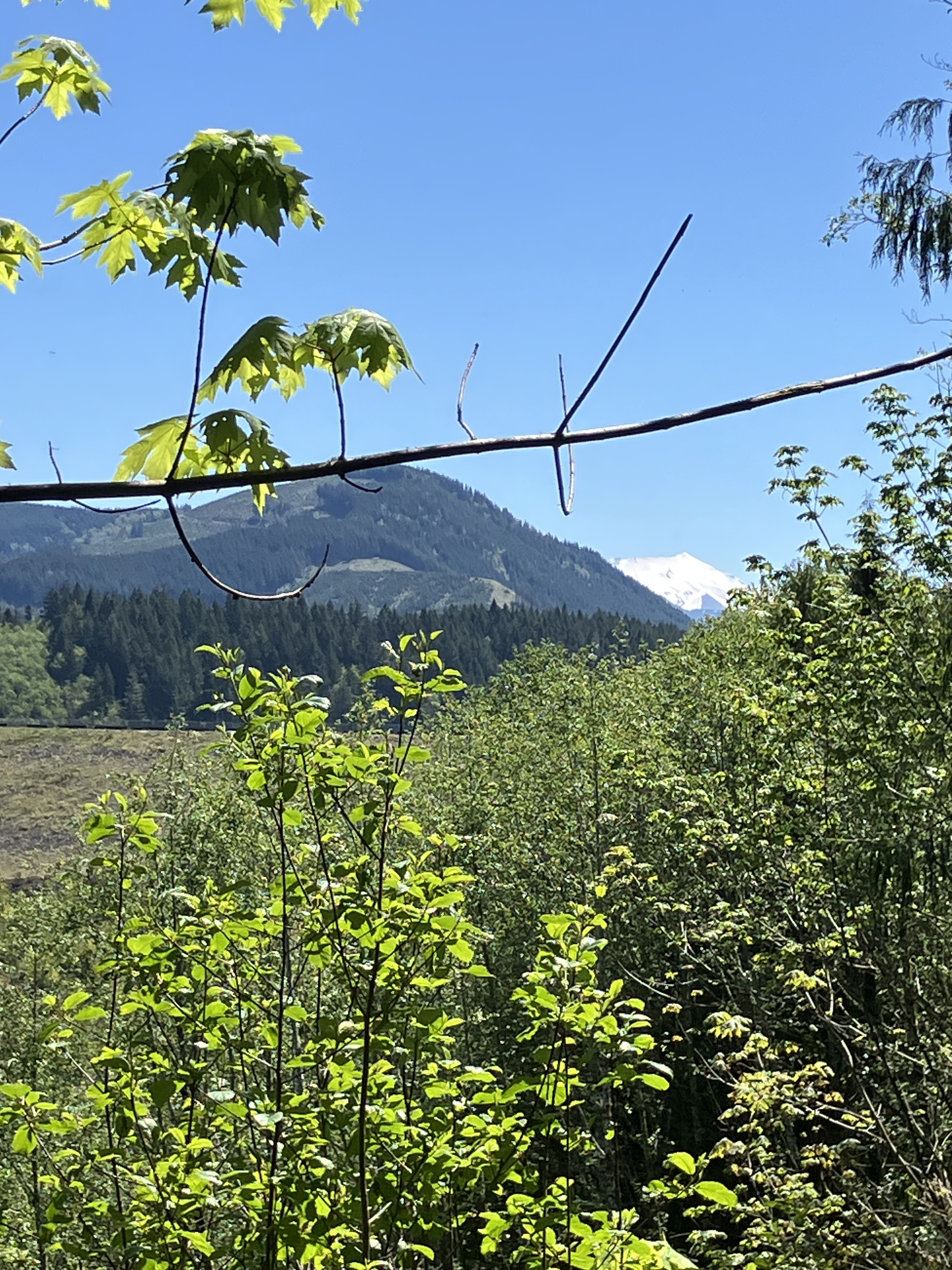
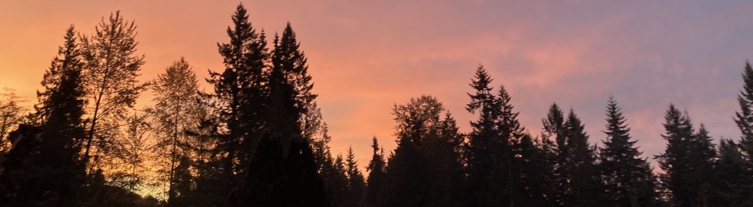
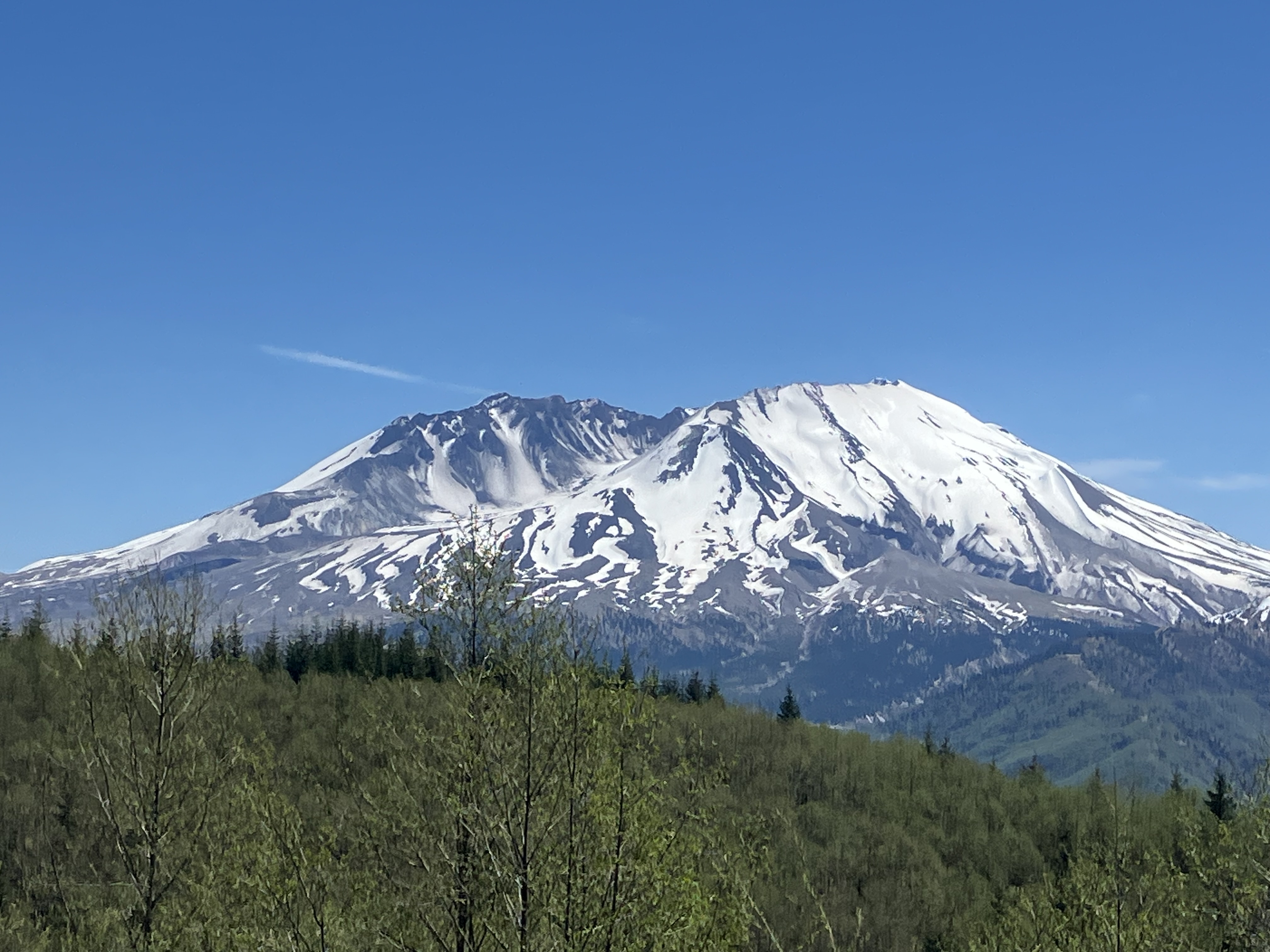
Scale is difficult to fully comprehend in this landscape. Form twenty miles away, the mountain looks like a sleeping strata, like all the other cone shaped peaks in the region. It takes some time, traveling over many ridges and across great gullies, winding towards what is slowly revealed to be a towering cauldron. Loowit has thrown out her peak to the north, at her sister Tahoma; opening her head in a rage, which still shows in leveled forests and hummock valleys all around. At each view point, we stopped to look in awe at this dynamic peak, still smoking as a new cone begins to rise from shattered center. Our minds reeled that the though of all that power, erupting violently from earth’s center. There were some not so subtle hints on the landscape, reminding us that we had stepped into the blast zone, where nothing had survived this cataclysmic geological change.
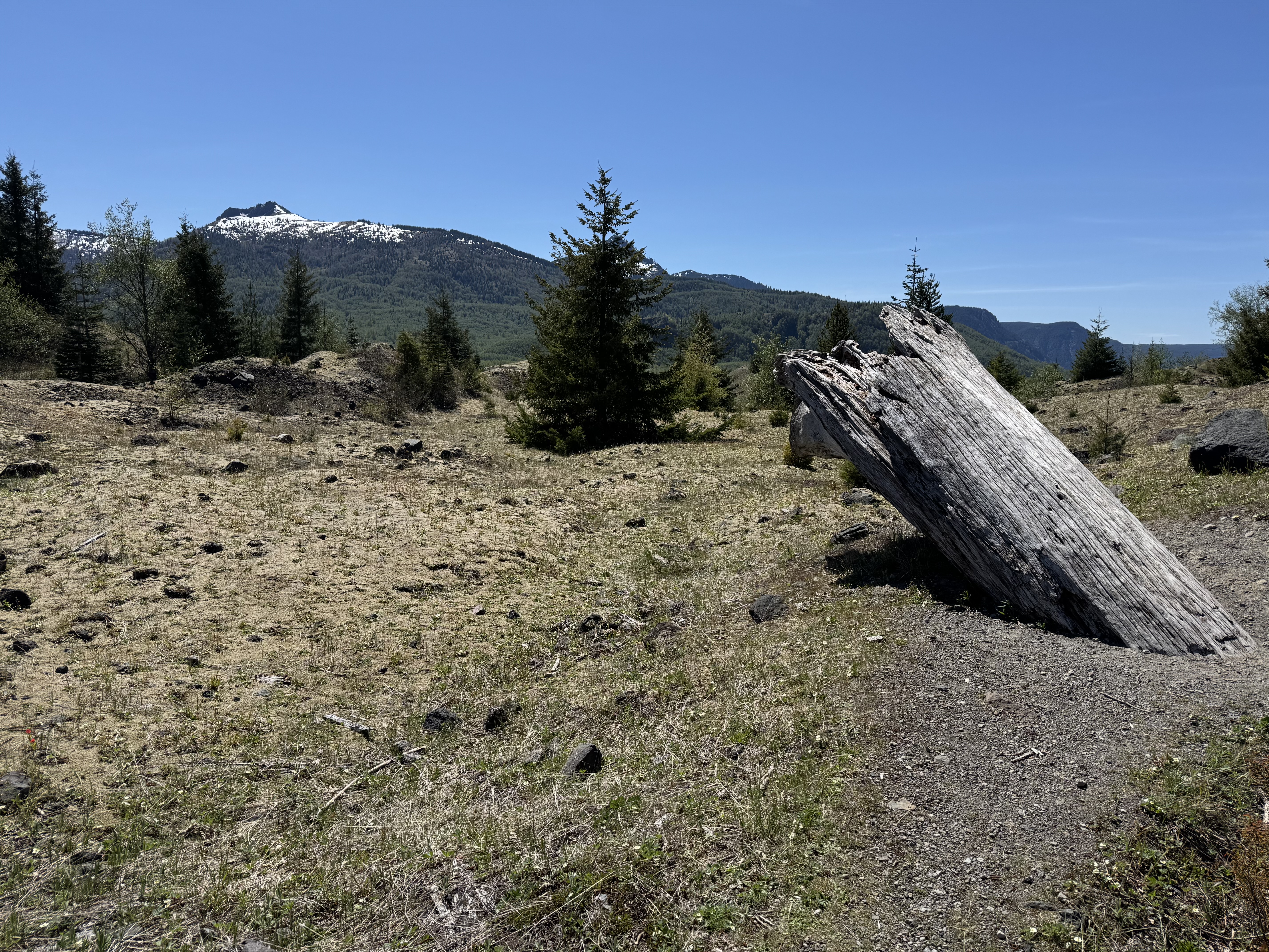
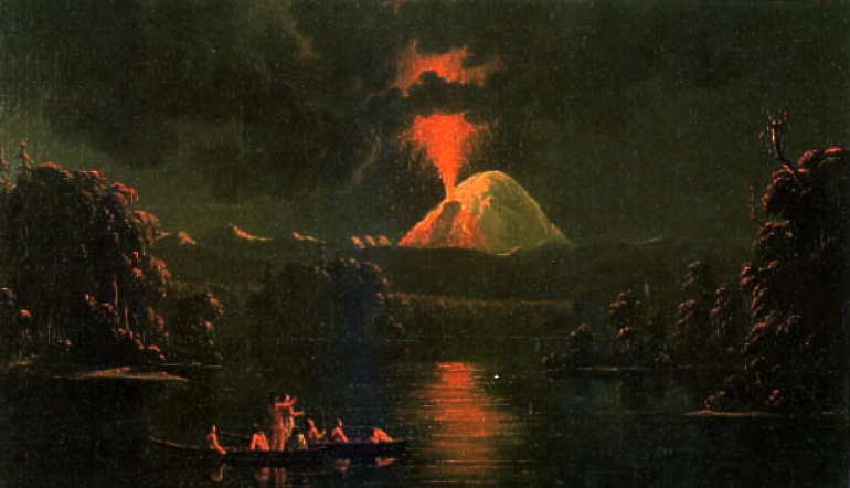
On The Hummocks Trail #229, you can see an old growth log sticking out of the hundreds of feet of ash and rubble, which came crashing down the northern side of the peak in May of 1980. Still the largest recorded landslide in human history, the eruption of Mt. St. Helens still haunts the landscape with evidence of many more sudden earth changes dating back thousands of years. Now, 45 years after this famous eruption, Loowit continues her recovery, with mother nature’s strong will to survive. Massive replanting were begun only a year after the catastrophe; Weyerhaeuser didn’t want to waste any growing time on the seedlings that would eventually repopulate the mountain slopes and ridge lines now cloaked in layers of ash, along with layers more under the loose topsoil, a legacy of unstable tectonic activity here in The Pacific Ring of Fire. Tribes that lived in the area for thousands of years, still hold oral histories that warn of the youthful vigor on Loowit’s slopes. Paul Kane, early colonial explorer, painted this eruption below in the 1700s.
This eruption, like all others spoken of by the tribe, happened on the north or northwest side of the peak. What happened in 1980? The same thing. I fact, a bulge began forming a week before the final cataclysmic end. It still puzzles me that a young Dr. David Johston and his colleges were camped out on the opposing ridge line northwest of the volcano. On May 18th, Johston happened to be taking his watch, and was able to get in a final radio call to The USGS stationed in southern Washington State:
“Vancouver, Vancouver, this is it!“
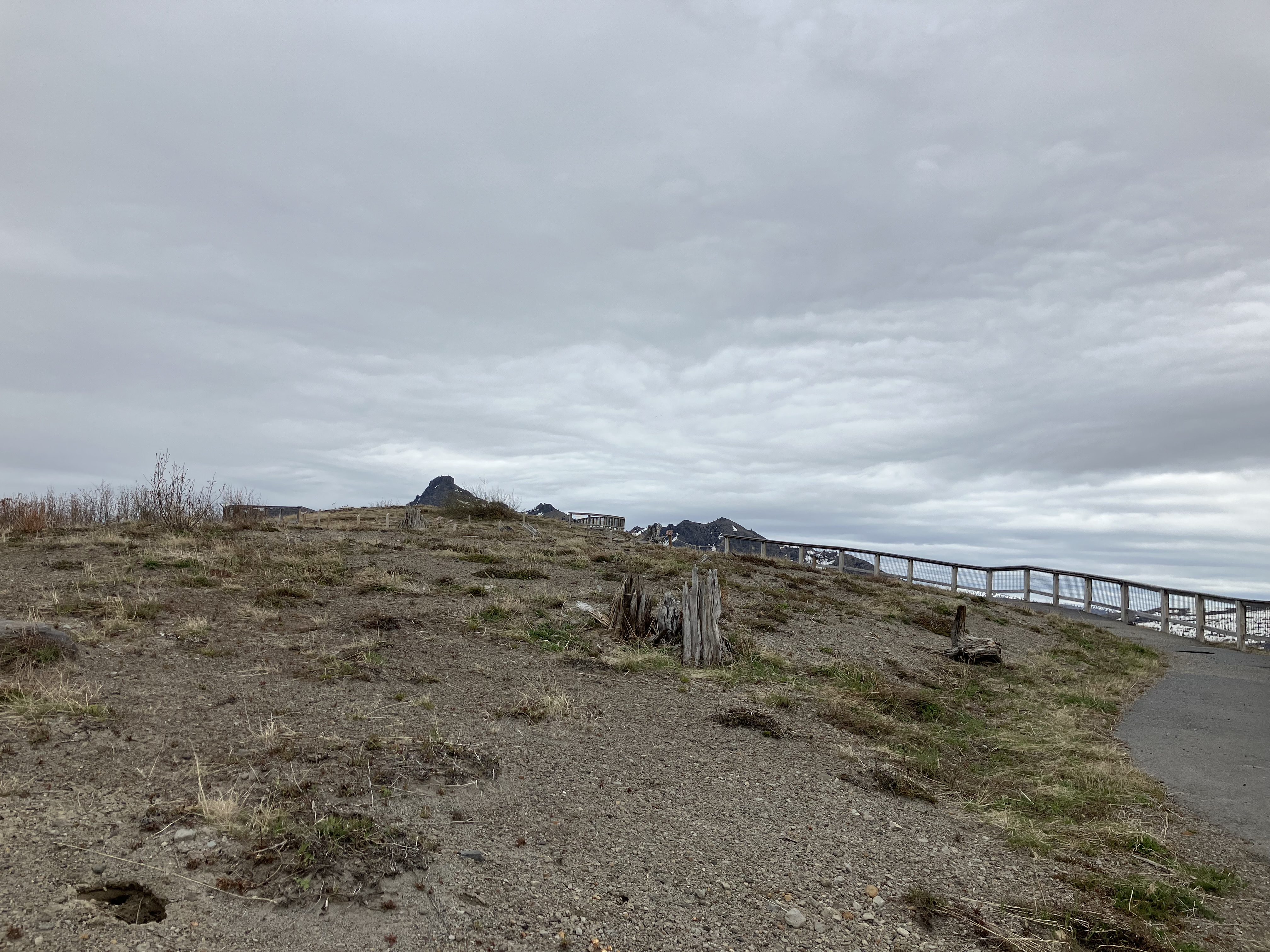
The transmission was cut off by the explosion, which came crashing over the ridge, and many beyond. As my friend and I began our ascent towards the observatory that now bears his name, we walked amongst thousands of tree trunks on the ground facing to the north/northwest. They lay in alignment with the blast, which leveled thousands of acres of forest, both young and old trees, nothing withstood the amount of force coming out of that mountain. I made a little video showing the explosion coming over the ridges and traveling past our trail.
The sign of devastation remains deeply instilled in these ridges. For us, it was a magical walk through recent geologic upheaval, along with some good ecological restoration. The studies on complete desolation and recovery after volcanic inhalation remains ongoing, with so much great scientific discoveries and advancement. Better satellite tracking to monitor active volcanoes world wide, understanding of how quickly the environment can begin recovery after a major eruption, and much more. Just walking along the ridge-lines that were once buried in hundreds of feet of ash and rock, now hosting young forests, wildflower meadows, and crystal clear lakes that had been boiling churning muddy messes right after the blast. It is truly a testament to natures resiliency, when left to make her own recovery. On nearby hills that were replanted for the timber industry, clear-cutting continues. Mono-culture forests for profit are raked down and replanted, reducing soil health and removing tons of biomass that would have fed future forest layers imperative for old growth trees to mature. Truck after truck sped past us on highway 504, carrying off the very trees that might have stabilized the ashen soil and prevented landslides.
Instead, more cutting continues, destabilization of the hillsides remains a threat to the communities living down stream, and our tax dollars go to propping up logging, rather than supporting the much larger tourist industry around the mountain. I found it very interesting that so many trees are cut while the community remains concerned about landslides and flooding. Even highway 504 has been washed out a few miles from its end at The Johnston Observatory. Though it was very cool to have a private time at the center on that special ridge with a perfect view into the volcano’s crater, it makes this magical learning center less accessible to the public, and the road is not slated to be reopened until 2027. The Observatory will be staffed through the warm season, but without maintenance, the road cracks and weathering of trails erodes infrastructure, causing more expensive upkeep in the long run. Cuts to state park funding might soon see this amazing place shut down, or worse, sold into private hands, or handed back over to Weyerhaeuser.
What a wonderful opportunity to return to Loowit for connection with the active tectonics of this region and reminders of the dynamic landscape here in The Pacific Northwest. There is rich geologic history of this region, along with endless landscapes and incredible topographic features like active strata volcanoes. Was I concerned about a sudden eruption? No. Do I think there are more eruptions in the future of this volcano’s life? Of course. There are also four other strata volcanoes in our area, along with the threat of The Big One, an earthquake that would level Seattle and send tsunami waves into The Skagit Valley, salting the soil where most of our produce grows. Drought worries me the most in day to day life on the land. I spend more time watching my creek flow and observing soil health than thinking about the next mountain to blow her top here in Western Washington. What I do love is all the on site learning to be had here. I can visit an active volcano just a few hours from home. It may not bee spewing lava, but it’s left a legacy of learning I’ll not soon forget. Gratitude to the mountains, our time sitting with them and listening, for regrowth and recovery in time, and all the scientific studies helping humanity better understand their place in this world.
